

Empowering India with Next-Gen Aerial Intelligence
Samridhi Informatics delivers indigenous drone solutions for defense, agriculture, and infrastructure across India.
Our Gallery
[sp_wpcarousel id=”5483″]
[DaaS]
Our Services

Research & Development (R&D) in Defense

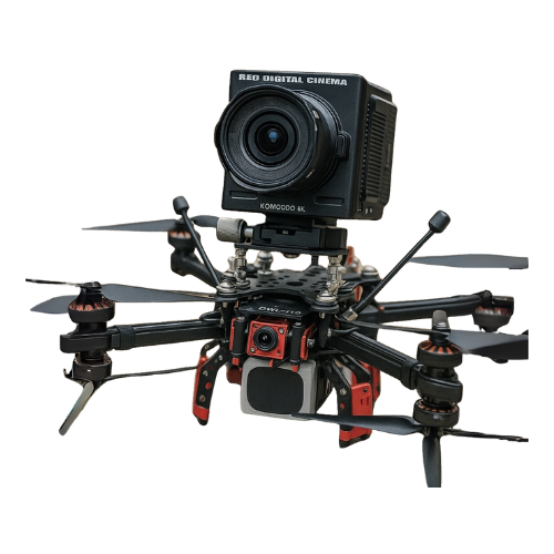
Drone Manufacturing

Drone-as-a-Service- Mapping & Survey
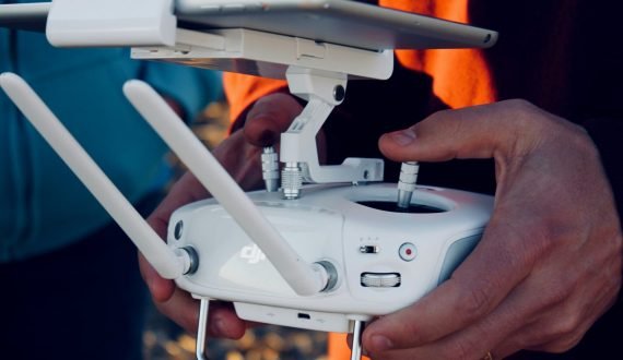
Drone-as-a-Service – Surveillance & Monitoring
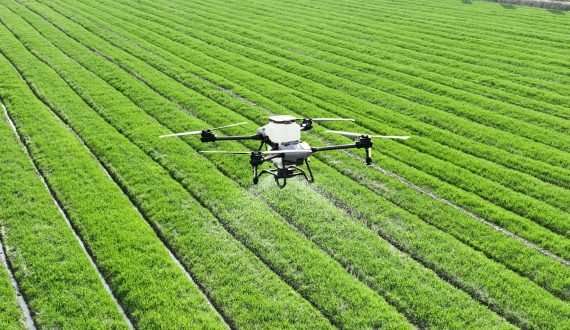
Drone-as-a-Service for Agriculture
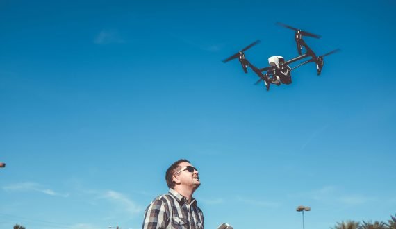
Training Infrastructure
Inspired by You
Engineered by Us
Application
99.3%
Accurate Topographic Surveys & Mapping
Generate highly accurate and high-resolution maps with our in-house technology to enable detailed data analysis for planning.
4x
Faster 3D Reconstruction
Reconstruct high quality digital 3D assets and structures using drone data for cities, infrastructure or heritage sites with high-density point cloud which is superior to traditional surveys.
Our Products
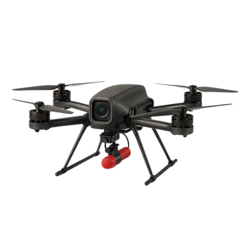
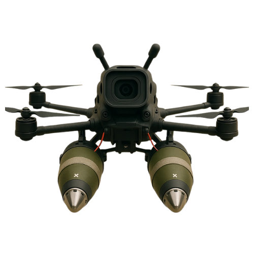
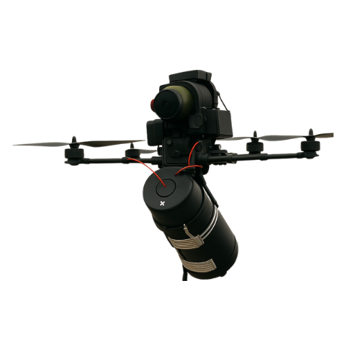
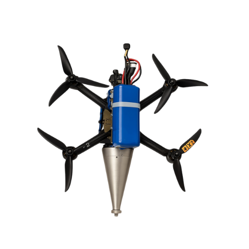
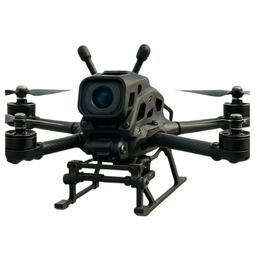

success rate
1
%

Happy Clients
1
+

Innovations
1
+
Our Mission
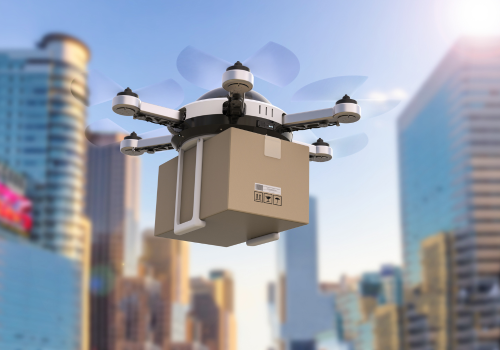
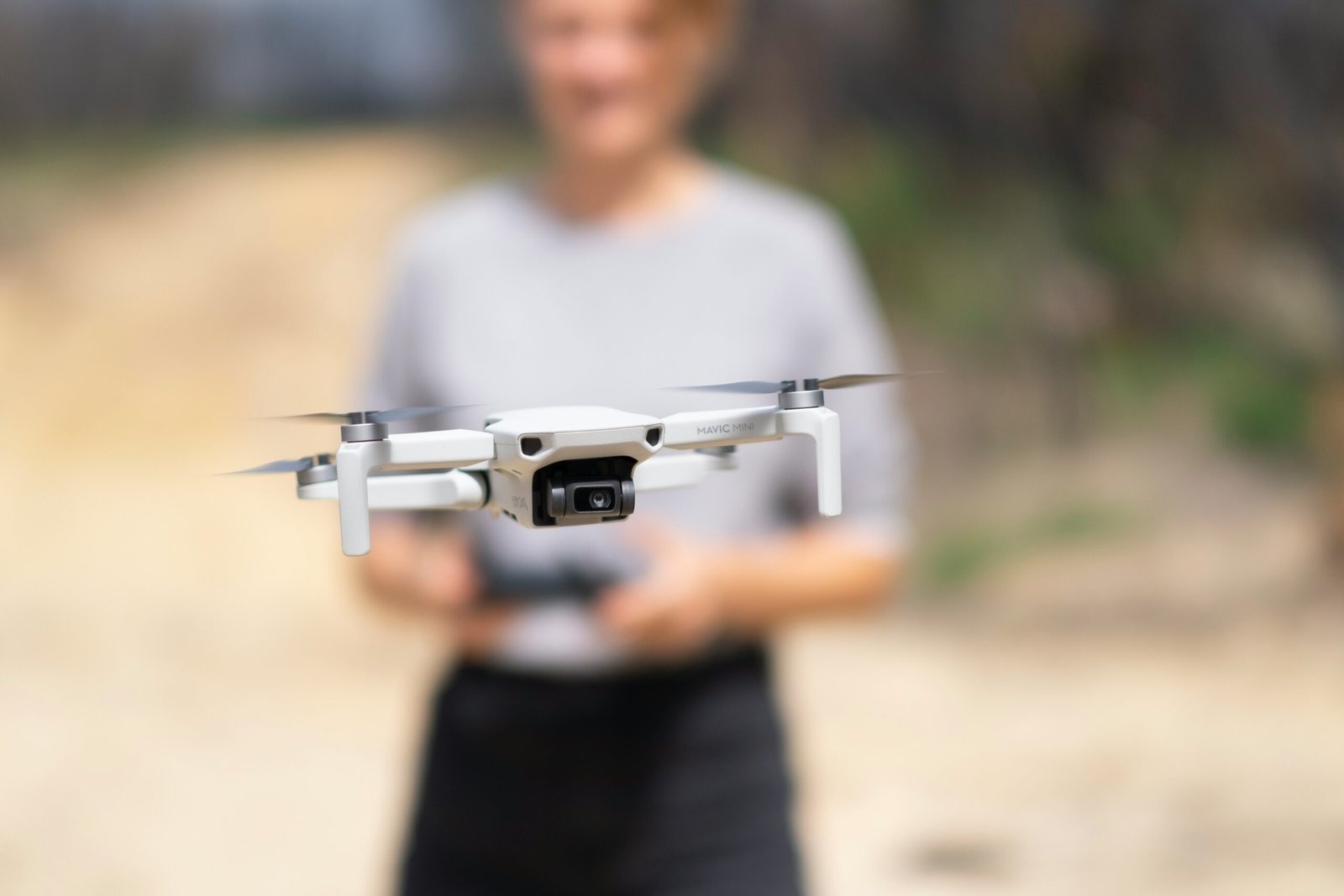
To design, develop, and deploy cutting-edge unmanned aerial systems that empower India’s defense, agriculture, and infrastructure sectors. We aim to drive national resilience through indigenous innovation, precision engineering, and scalable aerial intelligence.
Our Vision
To be India’s leading force in drone technology—shaping a future where autonomous aerial systems transform industries, enhance security, and contribute to a self-reliant, technologically advanced nation.
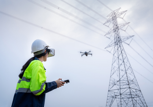
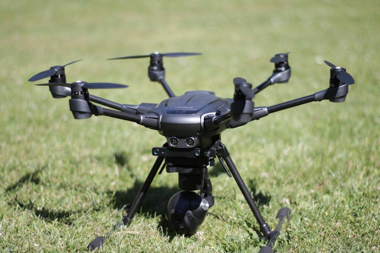
Our Clients




[News & Media
]
Latest Updates From
News
Media
Blogs
|
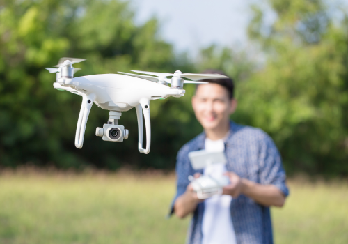
Drone Warfare: The Small Machines Changing Global Conflicts
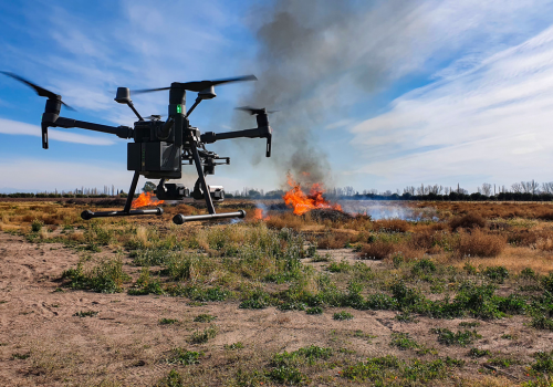
Fighting Fire with Flight: Drones in Wildfire Response
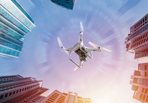
Skydweller: The Drone That Can Fly for 90 Days
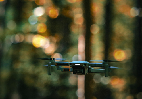
Drones for Elephants: Aerial Peacekeepers in Indian Forests
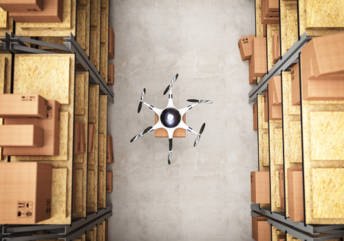
ATVA-1: India’s First DGCA-Certified Hybrid Cargo Drone
Still Not Sure ?

Quick Links
Contact Us
Corporate address: Plot- 250, Udyog Vihar, Sector 18, Gurugram, Haryana, 122015
Registered office: 1254/Z9, Pee Pee Compound, Near Guru Nanak School, Sujata Chowk, Ranchi – 834001